Dates
Thursday, November 21, 2024 - 2:00pm to 3:30pm
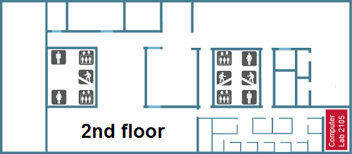
Location
Burnaby, Bennett Library, Lab 2105
This workshop is in the past and registrations are unavailable.
This workshop has been cancelled.
All times are Pacific Time Zone (Vancouver, BC, Canada).
About the workshop
One of the many negative effects of climate change has been the increase in the frequency and intensity of extreme heat events. By quantifying and combining multiple factors or variables that contribute to heat risk into a single index value, cities can evaluate the varying level of risk within an urban area and determine where to prioritize adaptation and mitigation efforts. Using tools in ArcGIS Pro, you will learn how to derive variable measurements from open data and satellite imagery and combine them to create a basic heat risk index for a Canadian city to map and identify high risk areas.
Learning outcomes
- Access and filter image services from ArcGIS Online for relevant satellite imagery and information
- Use geoprocessing tools to calculate variable attributes from vector and raster data
- Combine multiple variables into a single composite index using a built-in tool, and explore the results
Requirements
- Software (ArcGIS Pro) is already installed on the computers in the lab, so there is no need to bring your own laptop.
- A basic understanding of ArcGIS Pro is recommended, but those without prior experience are still welcome to participate.
- An ArcGIS Online account is required. SFU students, staff and faculty are eligible for ArcGIS Online accounts free of charge. If you don’t already have an existing ArcGIS Online account, you can log into ArcGIS Online with your SFU computing ID. For instructions on how to get access to it, refer to this page: https://www.lib.sfu.ca/find/other-materials/data-gis/gis/software-arc-gis
Facilitator(s)
Kendra Munn
Category
Workshop Series or Group