| Time | Presentation title | Presenter(s) | Slide / Recording |
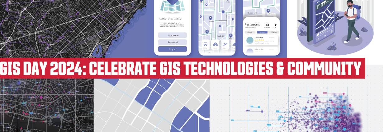
| 9:15am- 9:30am | Welcome |
| 9:30am- 9:50am | The Impact of Land Use Change on Hydrological Ecosystem Services in the the Tano River Basin, GhanaAbstract: The exploitation of natural resources such as forests, land, water, and animal diversity in the world has led to significant changes in the environment and the degradation of resources with serious consequences within the ecosystem. As the global human population expands, so does the demand for these resources, leading to a major transformation on the earth's surface and causing a change in land use. The human dimension of natural resource extraction through various land use activities has significantly affected the ecosystem's services, particularly those provided by river systems. This study focuses on the impact of land use change on hydrological ecosystem services using the example of the Tano River Basin, Ghana. The study used satellite images from 1986 to 2022 and generated land use and land cover (LULC) maps and then simulated for potential LULC in 2032 and 2052. The results revealed that the first interval between (1988–2003) showed a faster change intensity when compared to the second and third intervals. Across all the intervals (1986–2022), dense forests experienced a major decline of (-12.68%), followed by open forests with (-2.17%). Agriculture experienced a gain of (+12.72%), followed by built-up areas of (+2.09%). Simulation in the basin shows that open forests could witness the highest loss of 4.99% and 9.44%, while dense forests could also witness a loss of 0.07% and 0.25% in 2032 and 2052, respectively. Agriculture and built-up areas could also increase by 4.99% and 0.02% in 2032, and 9.61% and 0.03% in 2052, respectively. To assess the hydrological impact of land use changes, water yield was estimated using the InVEST software model. The study found that land use changes, particularly the conversion of forests to agricultural land, increase quick flow, which poses a greater flood risk and reduces groundwater recharge. | Emmanuel Kumi, PhD student, Geography | Download slides |
9:50am-
10:10am | Modelling dynamic geospatial systems with the Geographic Automata Add-In for ArcGIS ProAbstract: Geographic automata comprise a longstanding modelling paradigm used to represent dynamic geospatial systems. By encoding local interactions, complex behaviours can be simulated over space and time. However, the current GIS software ecosystem supporting geographic automata model implementation is fragmented, often equipped with inflexible black-box subroutines, or demands some level of programming expertise. Therefore, the Geographic Automata add-in was developed for ArcGIS Pro to address the lack of general-purpose, explainable, and integrated geographic automata modelling tools available in modern GIS software environments. In combination with ArcGIS Pro tools, the new add-in functionality aims to support beginners and advanced users in creating simple to complex models of various dynamic geospatial systems in research and education settings. This presentation will highlight the key features of the add-in and demonstrate its use for modelling various dynamic geospatial systems. Future directions for add-in development seek to encourage transparent geographic modelling tools to support research, education, and real-world decision-making applications. | Alysha van Duynhoven (presenting author, PhD student, Geography), Suzana Dragićević | Download slides |
| 10:10am- 10:30am | Break (refreshments provided) |
| 10:30am- 10:50am | Using participatory mapping to design socially connected cities for young people: The Youth.hood study Abstract: Background: Social isolation and loneliness are a growing health concern. Inadequacies in neighbourhood social infrastructure can undermine social connectedness, particularly for youth, who are dependent on their local environments yet often marginalized from public spaces and city planning. Integrating methods from participatory mapping and participatory action research, Youth.hood set out to explore how neighbourhood built environments help or hinder social connectedness from the understudied perspective of youth in under-resourced and racialized communities. Methods: Youth (n=42) from three under-resourced neighbourhoods in Vancouver were recruited to: (1) Map environmental assets and barriers to connectedness in their neighbourhoods using a smartphone app; (2) Analyze their collective data into themes; and (3) Design and advocate for environmental improvements through a workshop and forum with residents, city planners, and elected officials. Results: Youth mapped 227 features impacting their connectedness. The most frequently reported assets were parks and nature (n=39, 17%) and food outlets (n=25, 11%). Top barriers included poor neighbourhood aesthetics (n=14, 6%) and inadequate streets and sidewalks (n=14, 6%). Thematic analysis with youth underscored four themes: (1) Connecting through mobility: The fun and functionality of getting around without a car; (2) The power of aesthetics: Mediating connections to people and place; (3) Retreating to connect: Seeking out social and restorative spaces for all; and (4) Under-resourced, not under-valued: Uncovering assets for sociocultural connection. Conclusion: Our findings extend evidence on key environmental determinants of social connectedness for youth. Locally, our research offers city planners rich locational data on social connectedness assets, barriers, and solutions through the eyes of youth. This unique integration of micro-scale spatial data with experiential knowledge is valuable for guiding place-based improvements in under-served communities. We are currently developing a mapping tool with Youth.hood’s data to guide ongoing advocacy and neighbourhood improvements in South Vancouver. | Meridith Sones (presenting author, PhD student, Health Sciences), Meg Holden, Meghan Winters | Download slides or watch the recording |
| 10:50am- 11:10am | Semiocide in Cascadia: Multimodal Field Artefacts Using ESRI Field MapsAbstract: All creatures (microbes, plants, animals) use and interpret signs to communicate, learn and adapt to the environments they inhabit. In this talk, we explore Estonian scholar Ivar Puura’s concept of semiocide: “a situation in which signs and stories that are significant for someone are destroyed because of someone else’s malevolence or carelessness”. In Cascadia, this has manifested itself in various ways: the potlatch ban, the logging of old-growth forests, ulcerative pathogens impacting farmed salmon, and the extinction of Coast Salish dialects, among others. In collaboration with Dr Cary Campbell in the Faculty of Education, I invited groups of undergraduate students to explore this concept, and to then add evidence of semiocide through ESRI Field Maps. This collective approach to both ethnography and spatial analysis aims to facilitate a new lens on environmental destruction and degradation. As Puura writes, “at the hands of humans, millions of stories with billions of relations and variations perish. The rich signscape of nature is replaced by something much poorer”. Field Maps enable us to embrace the multimodal possibilities of fieldwork and reflective practice: the app allows us to upload pictures, sound bytes and text notes, opening up dialogue through the map interface. Our project aimed to explore and analyse the patterns of semiocide as they manifest within our shared home, the Cascadian bioregion. Ultimately, we developed a new approach to self-reflection, a different way of understanding the research relationship: as settler-scholars in Canada with differing experiences of colonialism, this approach positions us as researcher-observers within our more-than-human entanglements. | Marion Benkaiouche, Master student, Urban Studies | Download slides or watch the recording |
| 11:10am- 11:30am | Break (refreshments provided) |
| 11:30am- 11:50am | Petroglyphs of Vancouver IslandAbstract: The purpose of my talk is to provide a basic example of GIS application in archaeology. My initial interest while I was creating the map of Vancouver Island petroglyphs was to understand the distribution pattern behind the petroglyphs’ placing, and if there was one at all. GIS provides an opportunity of spatial analysis that can help us understand if there is a pattern or not, and gives us a clue to the possible future discoveries. | Kira Sokolovskaia, Undergraduate student, Archeology | Download slides |
| 11:50am- 12:10pm | Leveraging Machine Learning Techniques to Support Student Feedback and Academic Integrity in Large-Enrollment Online GIScience CoursesAbstract:The demand for well-designed introductory GIScience courses in higher education is on the increase. In response, instructors have tried and tested various modes of delivery with the most promising being fully online delivery. GIScience courses in fully online delivery mode offer flexibility of place and time and can result in cost efficiencies due to the large enrollment capacity. However, under these circumstances unique challenges will emerge such as providing timely feedback to students and maintaining academic integrity at scale. Using actual data examples and experiences from a real course, this presentation will explore selected machine learning (ML) techniques that can support the feedback process by summarizing large volumes of text data from assignments and discussions. Frequency, clustering and classification algorithms will be utilized. Further, flagging suspicious academic integrity activities will be explored through ML-driven techniques that combine behavioural analysis and anomaly detection. The ethical implications of data-driven approaches will be raised, particularly the importance of transparency, fairness and trust in digital learning environments. The end goal is to support learners by offering targeted interventions and guidance in their learning journey. | Shiv Balram, University Lecturer, Geography | |
| 12:10pm- 12:30pm | Lightning talks GIS Programs at SFU Abstract: A talk about all GIS Programs at SFU, including the revamped GIS Major coming in Spring 2025. Watch recording Abolishing Big North ArrowAbstract: The GIS Industry and the Geography Department at SFU, in particular, tout the benefits of adding North Arrows to our maps as a necessity. In most maps that we produce, however, they can be misleading or clutter (particularly when the map projection does not preserve direction), or it's obvious which way is north (on the country or regional view view). This talk will breakdown examples of when we should and shouldn't add north arrows to our maps as a matter of improving map design, in the face of established convention at our institutions. Field Maps from the Sky: Surveying Landslides on Vancouver IslandAbstract: As a PhD student, I became interested in using Field Maps, a powerful tool that allows loading various layers, shapefiles, and information to be used in remote areas. In October 2023, I uploaded all the information regarding the landslides triggered by a seismic event on Vancouver Island to my iPad. With this, I was able to verify the mapping from the helicopter, take notes, and add other points of interest to later sync with the computer. The use of these tools is incredibly powerful, allowing for the collection of a lot of real-time information that can be easily synchronized afterwards. | Tessa Haywood, Undergraduate Student Advisors, Geography
Jeffrey Collinson, Undergraduate Student, Geography
Catalina Pino- Rivas, PhD student, Earth Sciences | Tessa Haywood: Download slides or watch the recording Jeffrey Collinson: Download slides or watch the recording |
| 12:30pm- 12:40pm | Break (refreshments provided) |
| 12:40pm- 1:00pm | Mapping On-road Transportation Emissions in Surrey, BC CommunitiesAbstract: This study aims to map on-road transportation emissions in various communities within the City of Surrey, British Columbia, using GIS and geospatial analysis techniques. Transportation is a significant contributor to air pollution and greenhouse gas emissions, making it crucial to analyze its spatial distribution to inform sustainable urban planning. The methodology employs the Python-based library GeoPandas to process and visualize emission data from multiple sources, including vehicle types, fuel usage, and road network characteristics. By integrating geospatial datasets, we associate transportation emissions with specific community boundaries, providing a detailed spatial representation of pollutant emissions and identify emission hotspots. Results highlight spatial disparities in emissions, with high-density traffic areas showing elevated levels of pollutants like nitrogen oxides (NOx) and particulate matter (PM). These findings offer insights into community exposure to transportation-related air pollution, which is crucial for targeted mitigation strategies and mobilizing equity. | Maha Shehadeh, Sustainable Energy Engineering | |