

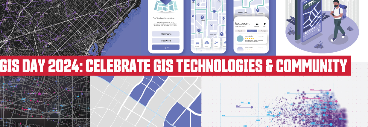
On November 20, 2024, the Research Commons & Department of Geography co-hosted GIS Day, attracting over 50 SFU students, instructors, staff, and community members.
Celebrating GIS Day is a long-standing tradition at the Library with the aim of providing an interdisciplinary platform for sharing GIS-related work and networking among SFU researchers. There were many highlights throughout the day, and we’d like to share just a few.
GIS Day is for everyone!
Fostering communities
Fostering communities for researchers and students has always been the mandate of the Library’s Research Commons.
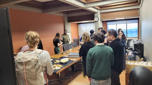
It was truly heartwarming to see like-minded people mingling and exchanging their research and ideas with one another. Marion Benkaiouche, a Master’s student in Urban Studies, who presented her project on using Esri FieldMaps to map people’s perceptions about a philosophical concept, expressed her appreciation for the event: “I've been feeling a little isolated as I'm at the point of grad school where I don't have any classes or classmates. It felt really good to hear the few presentations I was able to attend, and how people are spending their time with GIS. I was very surprised at the positive comments and conversations I had with the audience, too - I'm feeling very inspired to keep this project going.”
Fun and informative activities
GIS Day participants also enjoyed fun, hands-on activities
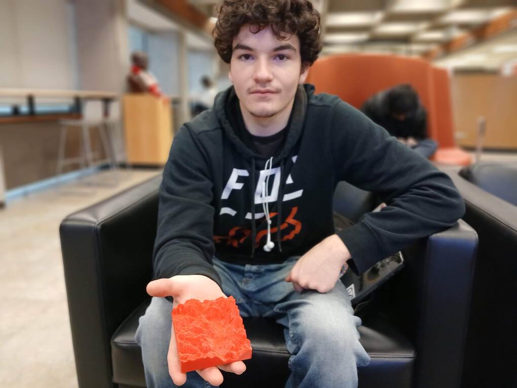
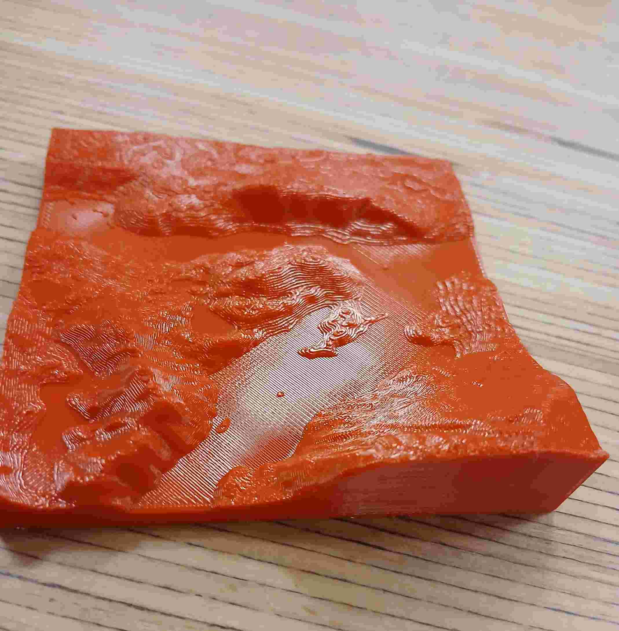
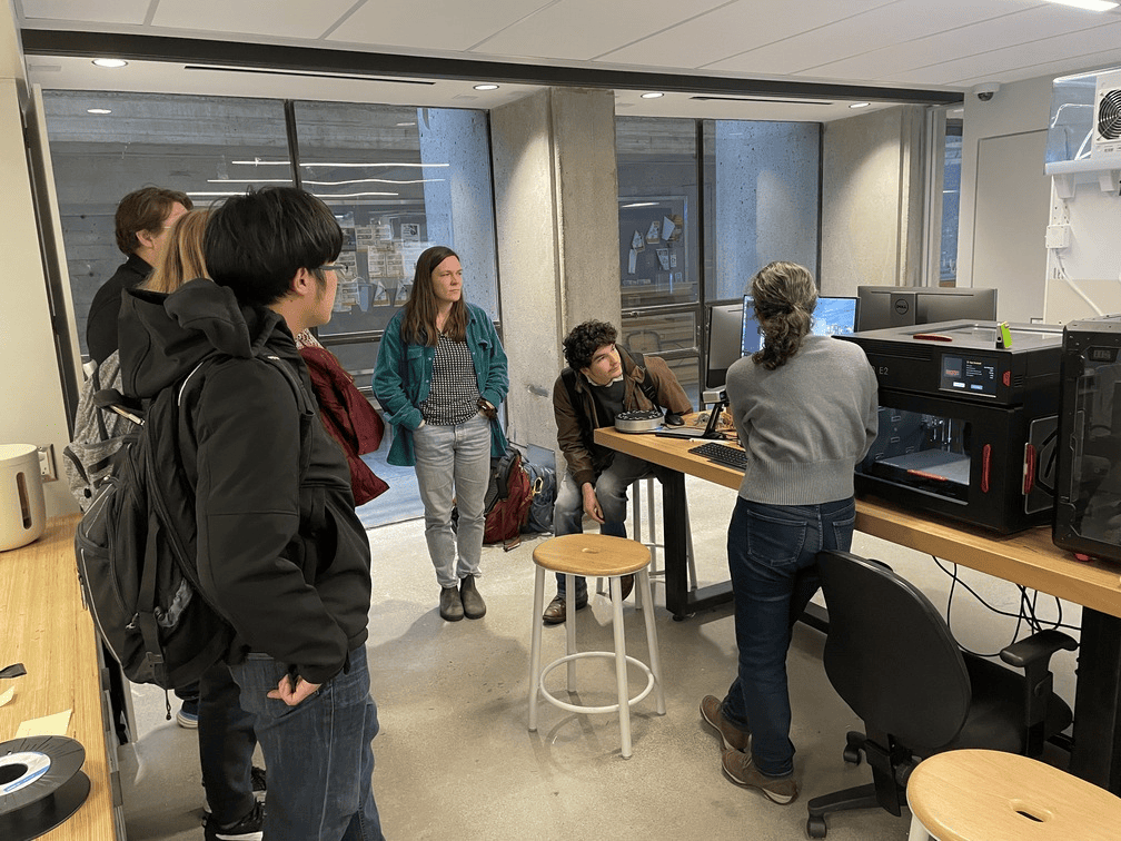
3D Printing Spatial Data workshop
In the “3D Printing Spatial Data” workshop led by Jay Matsushiba, a GIS Peer in the Research Commons, participants learned an alternative way to interact with geospatial data – 3D printing. They enjoyed the opportunity to create something completely customized to their own interests or connections to places, such as locations with memories, field sites for research, or favorite mountains. The students were also amazed as they watched their 3D prints form, with the maps slowly taking shape layer by layer.
Climate change through GIS
In addition to the 3D printing workshop, Dr. Stephanie Cleland, Associate Professor in Health Science, led a workshop, “Mapping Environmental Exposures: Spatial Analysis of Environmental Data in R”. Drawing on her expertise on how climate change-related environmental exposures adversely impact human health, Dr. Cleland demonstrated analyzing spatial environmental data as a critical tool for understanding how environmental conditions vary across space and time.
Looking forward to next year: GIS Day 2025
We look forward to seeing you next year, for GIS Day 2025!
-- SFU Library Research Commons, GIS Team