Learn how to use this powerful tool to quickly and easily access and process aerial imagery
Google Earth Engine (GEE) for Remote Sensing applications is quickly becoming one of the most utilized tools in the scientific and decision-making community.
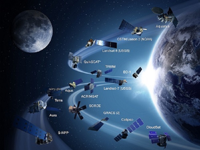
Remote Sensing is the science of capturing information about the earth’s surface using reflected or emitted energy collected by sensors mounted on satellites, aircraft or drones. Researchers from many disciplines have been using Remote Sensing in their research to better understand and respond to natural hazards, and to monitor land use and the effects of climate change.

If you have employed Remote Sensing in your research, you may have gone through a somewhat cumbersome workflow: downloading data from NASA's website, and then processing it on your own machine, which could be frustratingly slow due to the huge size of data files and hardware limitations. Google Earth Engine (GEE) (not to be confused with Google Earth) makes it easier and quicker to access and process satellite imagery. Also, it is designed with disciplinary researchers' needs in mind, not just remote sensing specialists' needs. Here is a GEE app example of Global Forest Change by the University of Maryland.
Global Forest Change GEE example [text version]
Join us in this workshop to learn how to use this powerful tool for your own research! See the workshop details below.
Intro to Satellite image analysis with Google Earth Engine [Online]
What is Google Earth Engine?
Google Earth Engine (not to be confused with Google Earth) allows anyone to access and process satellite imagery quickly and easily. Using a few lines of simple code, you can access images for a region, display a map, look for temporal or spatial trends, export data and statistics, and much more. Previously, remote sensing required downloading huge datasets and high computing power to process the data, but Google Earth Engine takes care of that by storing and processing 50+ years of earth observation data on Google’s servers.
Topics covered
In this introductory workshop we will use Google Earth Engine Javascript API to make maps using satellite images, perform calculations, and plot results. This workshop will loosely follow the material at https://developers.google.com/earth-engine/tutorials/ttt. Tentative schedule:
Day 1
- GEE overview
- Client vs Server operations
- Accessing and viewing satellite images
- Band math
- Image reducers
Day 2
- Image collections
- Functions
- Map functions
- Collection reducers
Day 3
- Vectors
- Cloudmasks
- Classifying
- Charting
- Exporting data
Prerequisites
No previous experience with Earth Engine or Javascript is necessary, but some basic programming experience and basic knowledge of remote sensing and/or GIS are highly desirable. Willingness to learn some coding is required. Step-by-step tutorials will be sent via email to participants the week before class.
- Register in advance for free GEE account at https://earthengine.google.com/signup
- Clone class repository into your account (more info in email)
- Complete Javascript 101 module prior to first day of class (15 - 30 minutes, more info in email)
Software
Google Earth Engine is run in the cloud, so no software downloads are necessary. Participants only need Google Chrome web browser and a stable internet connection.
Register for upcoming workshops
| Dates | Location |
|---|
No upcoming workshops available.
