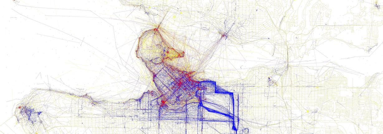
Image: Locals and Tourists #11 (GTWA #12): Vancouver by Eric Fisher, from https://www.flickr.com/photos/walkingsf/4671559593
Join us for an Introduction to automated geoprocessing with ArcGIS and Python, a workshop series for researchers in all disciplines who work with place-based (or spatial) data.
Researchers often have to organize and quickly analyze hundreds of datasets separately using the same process. Almost all uses of GIS involve a repetition of work, and this creates the need for methods to automate, document, and share multiple-step procedures known as workflows. Geoprocessing allows you to speed up your GIS workflows and perform spatial analysis and modeling. Organizing and automating the analysis of spatial data reduces time spent on repetitive workflows, and frees up your time so that you can investigate more complex and foundational questions.
The first day in this series sets the foundation for geoprocessing, or analyzing the spatial aspects of your data, in ArcGIS. The second day in this series combines the coding and geoprocessing tools learnt over the first workshop to create (in code and using a visual program) an automated workflow in ArcGIS. Participants will be able to create their own geoprocessing tools that can further simplify their workflows.
Day 1: Geoprocessing in ArcGIS
Day 2: Geoprocessing in ArcGIS with Python
Prerequisite
This series is designed for people with no background in ArcGIS. However, we encourage you to take any introductory course in ArcGIS, for example this one offered by the SFU Library Research Commons: Introduction to Spatial Thinking and ArcGIS.
However, this series of workshop assumes some basic knowledge about Python, such as program design, version control, data management, and task automation. Python is a versatile language that can be used to speed up processing of data and to create tools that can process data themselves. If you don't have any experience with Python, we encourage you to register for this workshop on Feb 8 and 9:
Introduction to Bash shell, Python programming, and Git version control
We suggest you register for both days, although you could register for either day individually. Note that Day 2 assumes prerequisite knowledge of the previous day material and basic knowledge about Python.
Alternatively, if you can't make it to this Python workshop, you may learn on your own the first 5 modules of Software Carpentry Programming with Python, which should sufficiently prepare you for this series of workshop.
Register now!
Geoprocessing in ArcGIS
February 12 Wednesday 9:30am-4:30pm (break from 12:30-1:30), Burnaby, SFU's Big Data Hub (Applied Science Building - Flexible Meeting Room ASB 10908)
The analysis of place-based (or spatial) data requires a basic understanding of how to process the data. For example, what are the routes taken by Anna’s hummingbird (Calypte anna) during winter migration and where do their routes overlap with predator territory? If we have data on the locations of Anna’s hummingbird and their predators, we could process their network (or routes) and then analyze the overlap with predator territory.
Researchers in various disciplines will find this workshop helpful as an introduction to basic geoprocessing tools and workflow automation in ArcGIS. In this workshop, participants will learn to run basic and advanced geoprocessing tools using Python and an automated workflow process tool called Model Builder. During the workshop, participants will:
- explore different data formats that work with ArcGIS;
- use tools to their full extent in ArcMap;
- learn about kernel density analysis;
- automate geoprocessing tools; and
- use Python in IDLE and in ArcMap.
This workshop assumes prerequisite knowledge of Python. For more details, please refer to the above section Prerequisite.
Geoprocessing in ArcGIS with Python
February 13 Thursday 9:30am-4:30pm (break from 12:30-1:30), Burnaby, SFU's Big Data Hub (Applied Science Building - Flexible Meeting Room ASB 10908)
Researchers often have to analyze many individual datasets separately using the same process. For example, maybe you need to convert 100 CSV files into shapefiles and create buffers with increasing increments around them, in each one. Sometimes even working spatial analysts don’t have access to premade tools that can run this analysis; in which case, they need to create the tool themselves to automate most of this processing.
Almost all uses of GIS involve a repetition of work, and this creates the need for methods to automate, document, and share multiple-step procedures known as workflows. Geoprocessing allows you to automate your GIS tasks and perform spatial analysis and modeling. This workshop will guide participants in the creation of custom geoprocessing tools in ArcGIS using Python. At the end of the workshop, participants will be able to:
- create a geoprocessing workflow in ArcGIS Model Builder;
- create a geoprocessing workflow using Python code;
- run basic geoprocessing and shapefile editing tools using Python code; and
- code a single tool that can be used in ArcMap to run the entire workflow.
This workshop assumes prerequisite knowledge of Python and Geoprocessing in ArcGIS (Day 1) materials or their equivalent. For more details, please refer to the above section Prerequisite.
Please contact data-services@sfu.ca if you would like clarification on the prerequisites.

Register for each workshop individually by clicking on the workshop name above.
