Dates
Wednesday, November 20, 2024 - 2:00pm to 4:00pm
Location
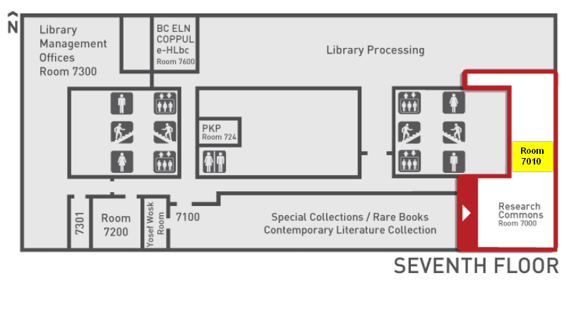
Burnaby, Bennett Library, Rm 7010, Research Commons
This workshop is in the past and registrations are unavailable.
All times are Pacific Time Zone (Vancouver, BC, Canada).
About the workshop
The environmental conditions that people are exposed to, such as levels of air pollution or greenspace, are largely dependent on where they live. As such, the analysis of spatial environmental data is a critical tool for understanding how environmental conditions vary across space and time and identifying who is exposed to what. This workshop will provide an introduction on how to conduct analysis of spatial environmental data using R and RStudio. Using publicly available datasets and R packages, you will learn how to wrangle and plot spatial environmental data and conduct basic exposure assessments using both vector and raster data.
Facilitator(s)
Stephanie Cleland
Category
Workshop Series or Group