We are pleased to announce that Geodisy -- a map-based search interface -- is now live in Canada's Federated Research Data Repository (FRDR).
SFU research data in FRDR will now be discoverable through Geodisy's map interface, allowing users to search for research data based on geographical information.
What is Geodisy?
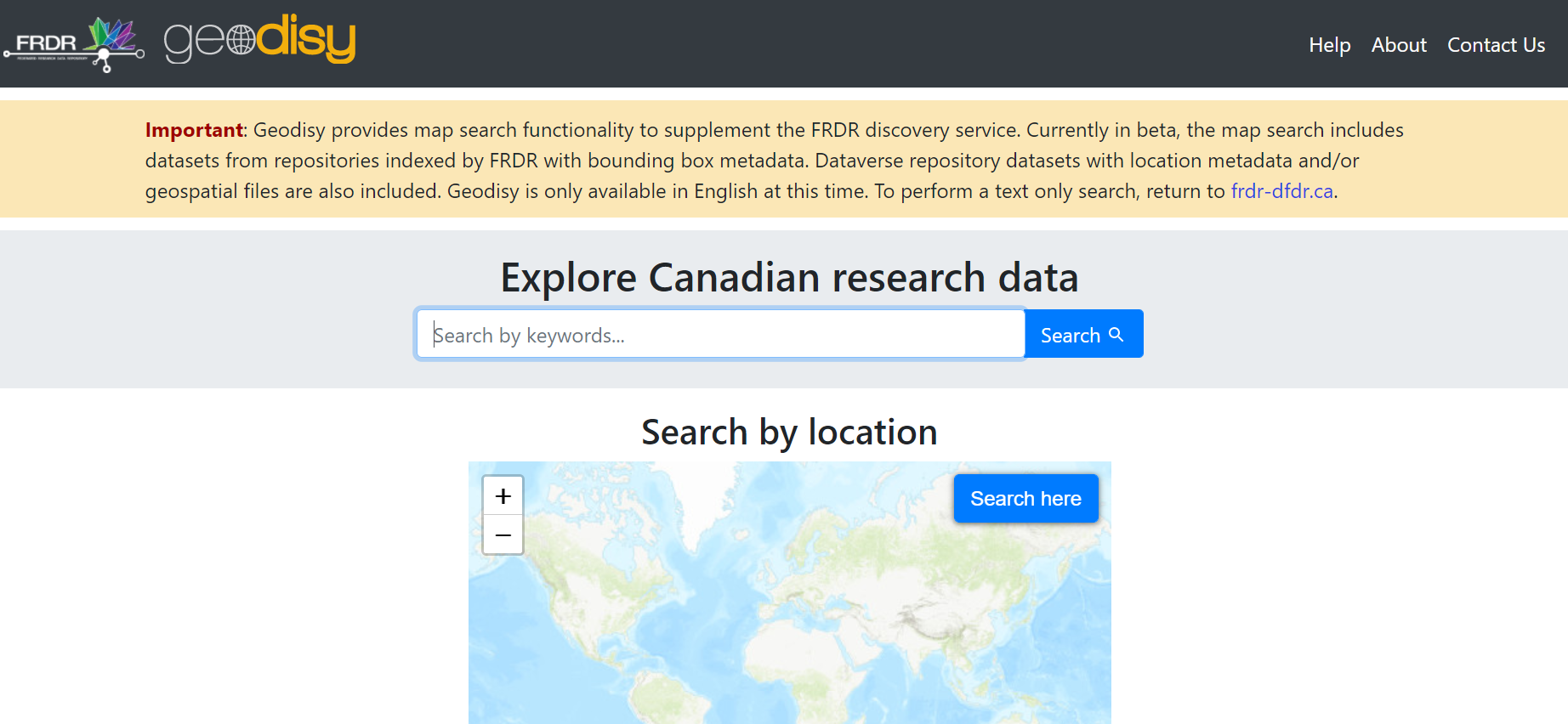
Geodisy is an open-source geospatial discovery platform for Canadian research data. It is now embedded in the search interface of FRDR, providing map-based search functionality.
What are the advantages of using Geodisy to search for data in FRDR?
It enables users to find research data visually, spatially, and quickly
Searching for research data can be difficult. Keywords can be hit and miss, and text-based descriptions don’t necessarily match your place of interest (for example, what if your area of interest falls within the crossing boundaries of a few jurisdictions?).
Geodisy addresses this challenge by allowing users to search by map -- you can simply zoom in on the area of your interest and find the datasets related to that particular area.
Geodisy indexes a massive collection of data, including FRDR’s harvested metadata collection, which includes content from over 70 Canadian research data repositories, Scholars Portal Dataverse repositories, and even municipal/provincial/federal open data portals. This wide coverage of data sources means it will save you searching separately on those various sources.
How does it work?
Step 1
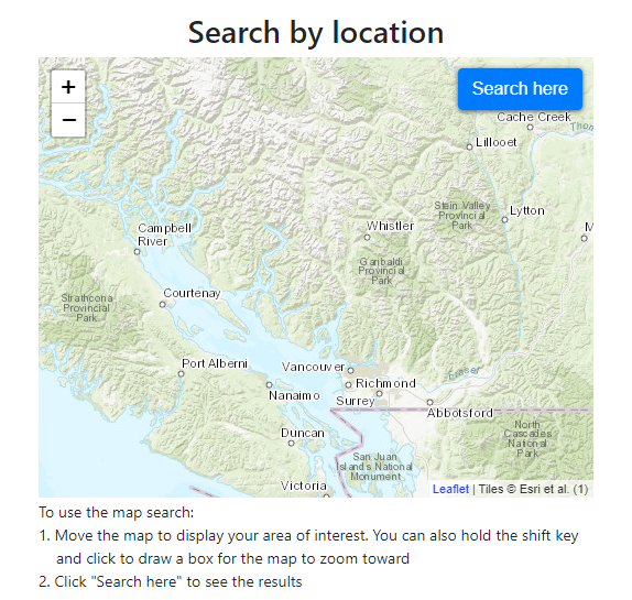
On the Geodisy map search interface, you can search either by zooming in and out to the area of your interest, or holding the shift key and click to draw a box for the map to zoom forward. Then click on “Search here”, as shown below.

Step 2
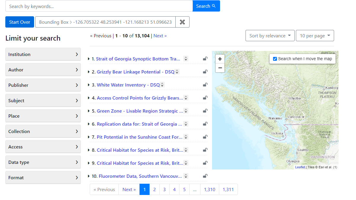
The datasets that fall within the area are retrieved. You can further limit your search by the filters on the left, as shown below.

Step 3
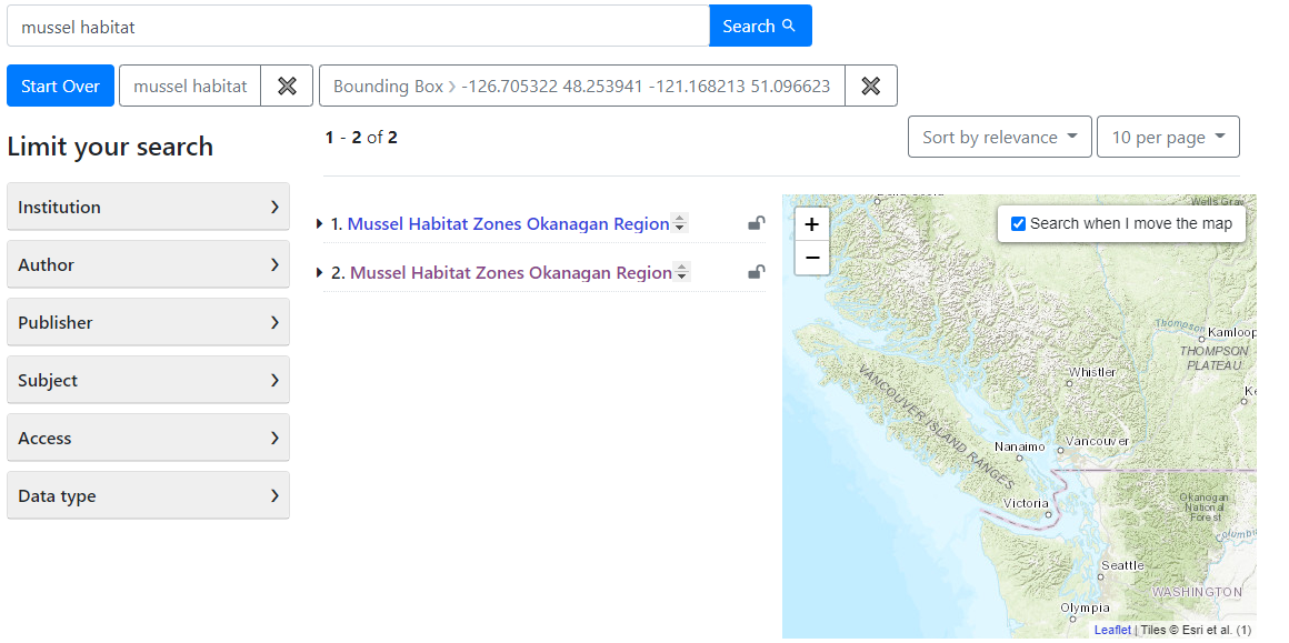
You can also enter a keyword to further specify your search, while still confining the search to the area of interest, as shown below.


